 |
| NPHS 1510: Federal and International |
| Geographic Information Systems (GIS) |
|
| |
|
| |
| Overview |
| Definition: |
geographic information system (GIS) An integrated collection of computer software and data used to view and manage information about geographic places, analyze spatial relationships, and model spatial processes. A GIS provides a framework for gathering and organizing spatial data and related information so that it can be displayed and analyzed.
Source: ESRI Online Dictionary.
|
|
|
| |
Geographic Information Systems (GIS) are essential to emergency management. GIS is used for:
- Emergency planning - providing visualizations of the position of assets, locations of hazards, evacuation routes and other important emergency information.
- Response - providing real time information about the progress of the event.
- Recovery - assessment of damage and insight on how to recover
- Analysis - How to make the community more resilient.
|
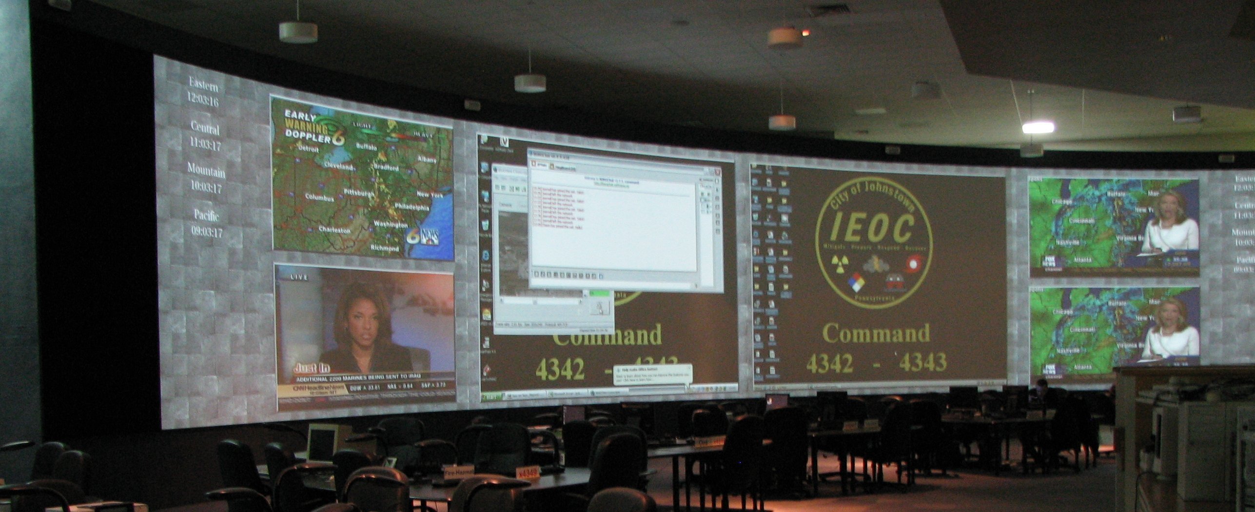
| Every Emergency Operations Center that you professor has visited has had a GIS display as part of its status wall. See for example the Johnstown, PA EOC pictured below. |
| |
 |
| |
| |
| GIS can provide us with maps of analytical information such as the map of Japan to the right showing major geological faults and earthquake and volcano locations. The patterns that emerge make the interrelationship between these three natural phenomena clearly evident. | 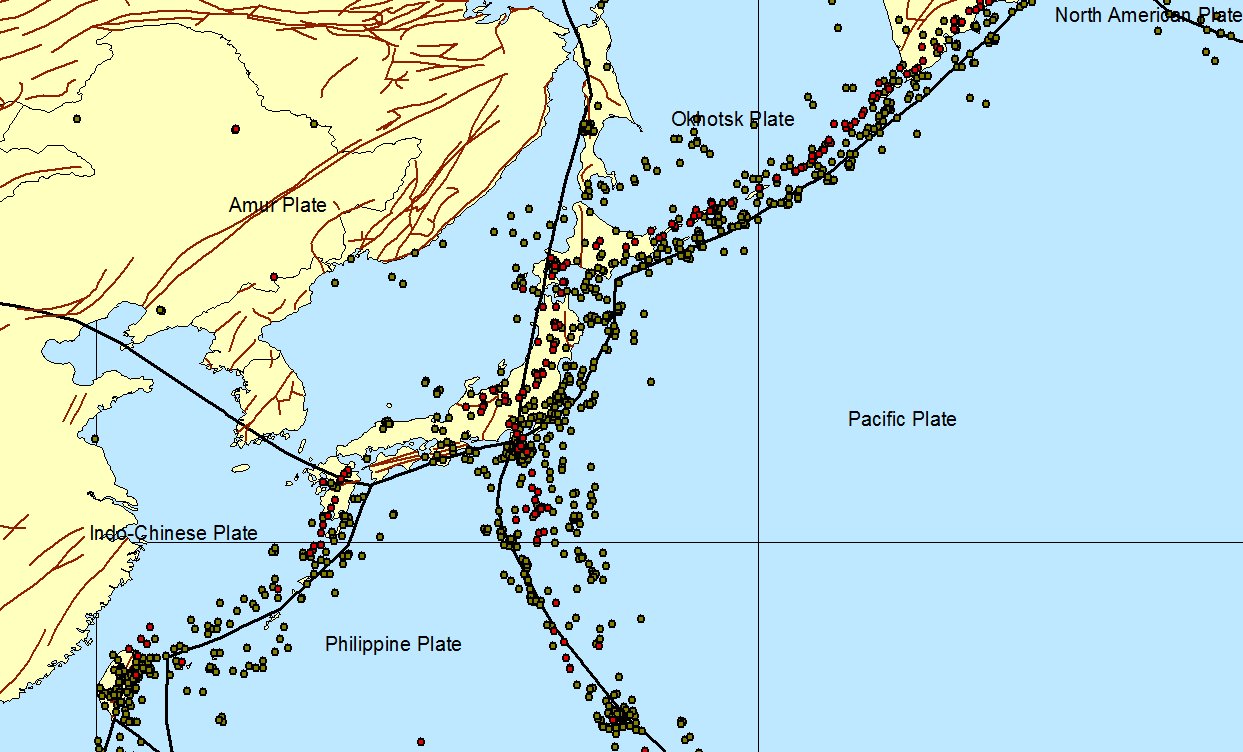 |
|
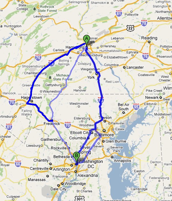 | Analytic capabilities provided within GIS can help us take highway and other data and plan efficient and effective primary and secondary evacuation routes. The map to the left shows potenial high capacity routes between Washington, DC and Harrisburg, PA. |
|
| |
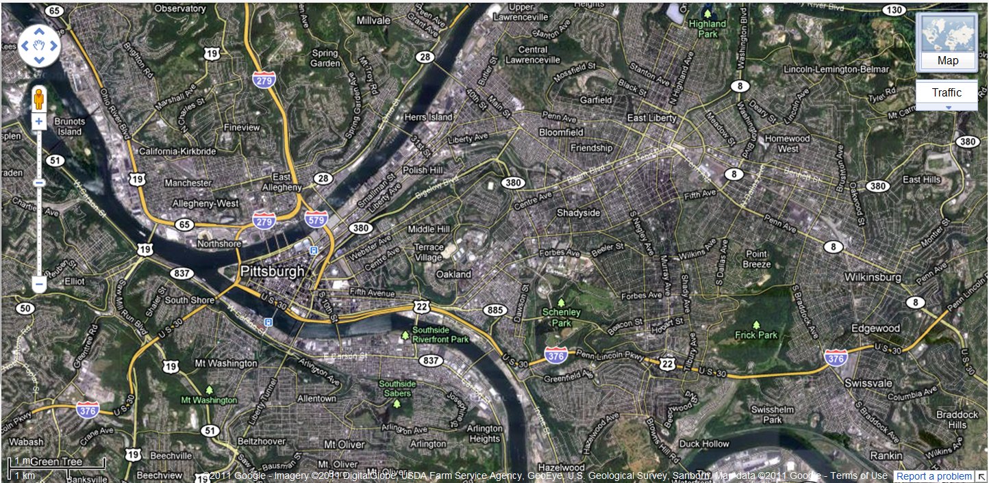
| Although not a true GIS, mapping systems such provide the capability to easily and quickly navigate maps on the Internet and deliver some basic GIS capabilities. Major online mapping systems are available from:
The map below shows a Google Map of Pittsburgh, PA with major roads and satellite imagery displayed. |
| |
 |
| |
| Objectives |
| |
The aim of this lesson is not to make you an expert in GIS. Indeed, one can get a graduate degree in GIS. Specifically our objectives are:
- Learn emergency applications for GIS
- Develop a question-answering approach to GIS
- Explore some basic GIS capabilities
- Learn to apply ESRI’s ArcGIS
- Learn to apply Google Maps
- Identify sources for geographic data
The materials are designed for a novice student. You should be able to perform the exercises without learning other specialized skills or knowledge.
|
| Throughout the course we will provide you with GIS ready data. This lesson will empower you to actively explore that data rather than looking at images of maps. |
| |
|
|
|
|
| Copyright © 2011 Ken Sochats |