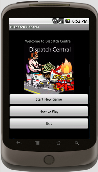
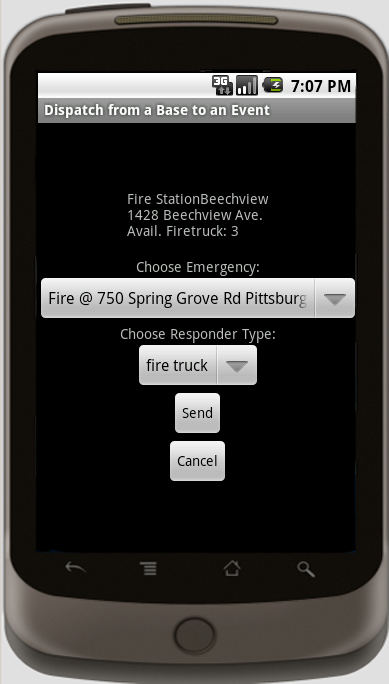
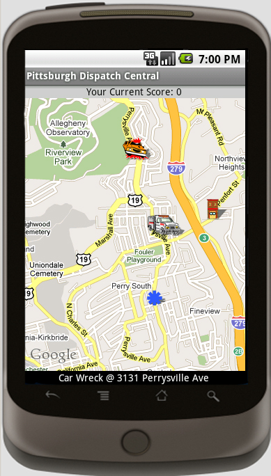
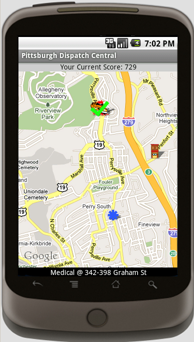
At the Center for National Preparedness, we have developed an emergency dispatcher, real-time strategy game for Android-powered Smartphones. The player selects a city, and emergency events such as car accidents, house fires, and medical emergencies occur around the city. The player must dispatch appropriate responders such as ambulances, fire trucks, or police to handle these events, and earn points for saving lives!
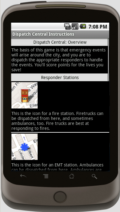
Designed from the beginning to be entertaining, the game also uses real-world data about emergency responder locations in order to familiarize the users with the emergency infrastructure in the city as an added benefit while playing the game.
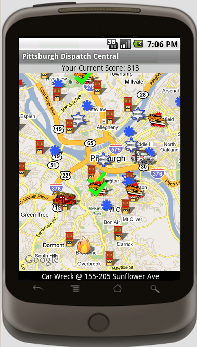
Dispatch Central uses Google Maps for the game’s board. When a responder is dispatched to an event, the game download’s the real turn-by-turn directions to navigate from the responder’s home base to the event’s location.
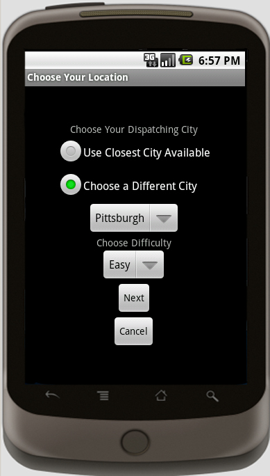
The game includes 12 cities around Pennsylvania, including Pittsburgh, Erie, Johnstown, as well as others. The game was designed though to work for any city, provided emergency responder data is available.
Available now, free, on the Android Market! Search for “Dispatch Central” in the Market
|